 By Hamza@globalarena.org
A winter storm across Colorado, Wyoming, and Utah can change conditions quickly across the central Rocky Mountain region. Heavy mountain snow, strong winds, blowing snow, ice, falling temperatures, and difficult highway conditions can affect travelers and communities across all three states.
The phrase winter storm Colorado Wyoming Utah often becomes important when a large weather system moves through the Rockies and brings snow to several elevations and travel corridors. Conditions can be very different from one location to another. A mountain pass may receive heavy snow while a nearby valley sees lighter accumulation, rain, or a rain-snow mix.
The region also enters the 2026–27 cold season after an unusual snow year. A Western Water Assessment report found that April 1, 2026 snow water equivalent was just 22% of average in Colorado, 19% in Utah, and 50% in Wyoming. Record warmth contributed to early snowmelt and exceptionally low snow accumulation.
That background makes new storms important not only for transportation and safety but also for mountain snowpack and regional water supplies.
Why Winter Storms Affect Colorado, Wyoming, and Utah
Colorado, Wyoming, and Utah share a landscape dominated by mountains, elevated plateaus, valleys, basins, and open plains. These geographic features can create major differences in winter weather over relatively short distances.
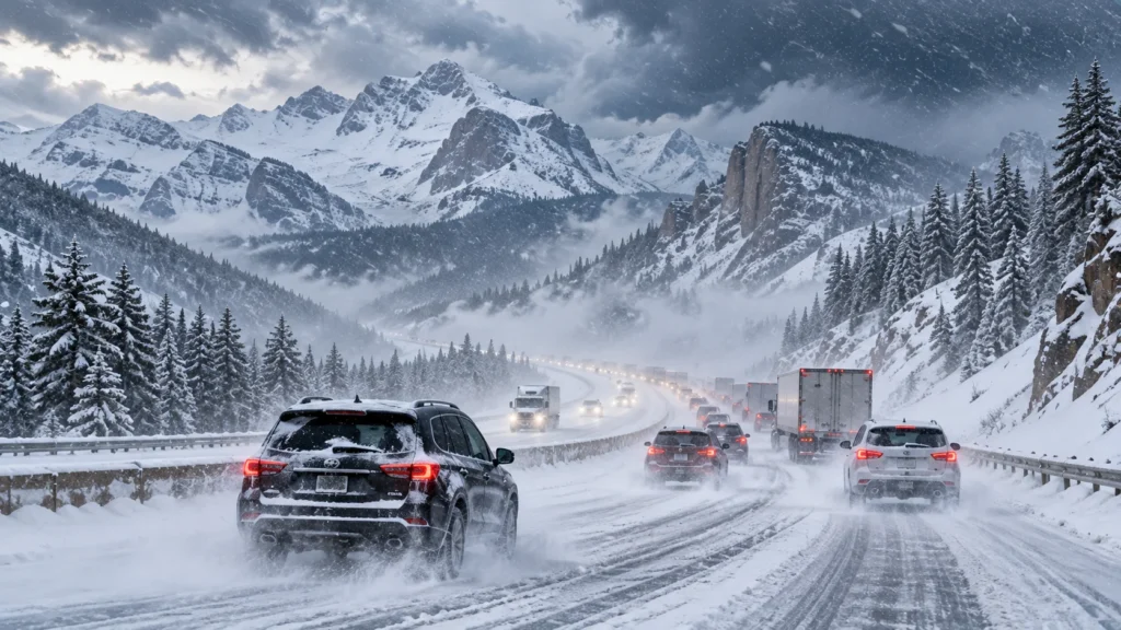
Moist air moving toward the mountains is forced upward. As that air rises, it cools, allowing precipitation to develop. When temperatures are cold enough, that precipitation falls as snow.
Mountain terrain can increase snowfall considerably. At the same time, valleys and lower elevations may receive much less snow.
Wind is another major factor. Open areas of Wyoming and eastern Colorado can experience blowing and drifting snow even after the heaviest precipitation has ended. Mountain passes in Utah and Colorado can also become hazardous when snowfall combines with wind and rapidly falling temperatures.
This means snowfall totals alone do not tell the entire story. Visibility, road temperature, wind speed, elevation, and timing can all influence how disruptive a storm becomes.
Colorado Winter Storm Conditions
Colorado has some of the most complex winter weather in the region because of its dramatic elevation changes.
The Colorado Rockies can collect substantial snow while lower elevations along the Front Range experience completely different conditions. Denver, Boulder, Fort Collins, Colorado Springs, and surrounding communities can sometimes remain relatively mild before colder air arrives.
Mountain travel requires particular attention.
Major routes such as Interstate 70 cross high terrain where snowfall, ice, accidents, and temporary closures can cause lengthy delays. Routes leading toward ski communities and mountain towns can also become difficult during periods of heavy snow.
Drivers should remember that roads that appear merely wet may contain black ice. The National Weather Service notes that black ice can be difficult to see and is particularly common during nighttime hours.
Colorado’s winter weather can therefore create two very different experiences at the same time: manageable conditions at lower elevations and severe conditions in mountain areas.
Wyoming Winter Storm Conditions
Wyoming’s winter weather is strongly influenced by both elevation and wind.
Mountain ranges can receive significant snowfall, while exposed highways and open plains face another major problem: blowing snow.
Strong winds can lift loose snow from the ground and push it across highways. Visibility may deteriorate even when fresh snowfall is limited. Snow can also drift across previously cleared roads.
Interstate 80 is particularly important because it crosses southern Wyoming and serves as a major transportation corridor. Interstate 25 connects Wyoming with Colorado and can also experience changing winter conditions.
The National Weather Service office in Cheyenne provides snowfall forecasts, winter storm severity information, and probabilistic snowfall guidance for Wyoming.
Travelers crossing Wyoming during a storm should therefore consider more than predicted accumulation. Wind forecasts and road closures can be just as important.
Utah Winter Storm Conditions
Utah’s Wasatch Mountains are well known for winter snowfall, but storms can also affect populated areas along the Wasatch Front.
Salt Lake City, Ogden, Provo, Park City, and surrounding communities may experience changing conditions depending on elevation and the movement of cold air.
Mountain routes can become snow-covered quickly during an active storm. Roads leading to ski areas are particularly sensitive because elevation rises rapidly over relatively short distances.
The state’s terrain can also create sharp differences in snowfall. One community may see modest accumulation while nearby mountain locations receive considerably more.
For drivers, that makes elevation an important part of trip planning. Clear pavement near a valley location does not guarantee similar conditions farther into the mountains.
Colorado, Wyoming and Utah Winter Storm Comparison
| Area | Common Winter Concerns | Areas Most Sensitive | Main Travel Risk |
|---|---|---|---|
| Colorado | Heavy mountain snow, ice, wind, rapid temperature changes | Rockies, mountain passes, Front Range | Snow-covered passes and black ice |
| Wyoming | Snow, powerful winds, drifting and blowing snow | Southern highways, open plains, mountain regions | Low visibility and road closures |
| Utah | Mountain snow, valley snow, ice and changing elevation | Wasatch Mountains and Wasatch Front | Rapidly changing road conditions |
| High-elevation areas | Deep snow and strong winds | Mountain passes and ski regions | Difficult or temporarily impossible travel |
| Lower elevations | Rain-to-snow transitions and freezing surfaces | Cities and valleys | Slick roads and sudden ice |
Why Travel Can Become Dangerous So Quickly
Winter driving problems often develop before snowfall reaches its highest total.
Road temperatures can drop below freezing while precipitation continues. Water or partially melted snow can freeze, producing slick pavement.
Wind can then reduce visibility by blowing falling or previously accumulated snow across roads.
According to the National Weather Service, a Winter Storm Warning indicates a significant winter weather event involving hazards such as snow, ice, sleet, or blowing snow. Travel can become difficult or, in some situations, impossible.
A Blizzard Warning is more serious and involves strong winds combined with falling or blowing snow and severely reduced visibility for an extended period.
Drivers should therefore pay attention to the type of alert rather than looking only at expected snowfall totals.
Winter Storm Watch vs. Winter Storm Warning
The terminology used in forecasts can help residents understand how urgently they should prepare.
A Winter Storm Watch generally means conditions are favorable for a significant winter weather event. It is a signal to prepare and monitor forecast updates.
A Winter Storm Warning means significant winter weather is expected or occurring. People should consider delaying travel until conditions improve.
A Winter Weather Advisory is typically used when snow, ice, sleet, or blowing snow may create travel problems but conditions are not expected to reach warning criteria.
These alerts are issued by local National Weather Service offices because winter weather impacts and warning thresholds can differ by region.
Mountain Snow Can Change Within Miles
One of the biggest mistakes travelers make is assuming conditions at their starting point will remain the same throughout the trip.
That assumption can be especially risky in Colorado, Wyoming, and Utah.
A driver may leave a dry valley and encounter accumulating snow after gaining several thousand feet in elevation. Temperatures generally become colder with elevation, while mountainous terrain can enhance precipitation.
Conditions can also change on the opposite side of a mountain range.
For longer trips, check forecasts for the entire route rather than only the departure and destination cities.
Winter Storms and the 2026 Snow Drought
The winter of 2025–26 provides important context for the region.
Western Water Assessment reported record-low April 1 snow water equivalent since 1980 across Colorado, Utah, Wyoming, and the Upper Colorado River Basin. Colorado stood at 22% of average, Utah at 19%, and Wyoming at 50%.
Drought.gov also reported that the 2026 peak snowpack established new record lows for Wyoming, Utah, Colorado, and New Mexico. In many locations, snow melted much earlier than normal.
This means a major storm can bring valuable moisture, but a single storm should not automatically be viewed as ending a long-term snow or water deficit.
Snowpack recovery depends on repeated storms, temperature patterns, total seasonal precipitation, and how much water remains stored in the snow through spring.
How Winter Storms Affect Water Supplies
Mountain snow functions as natural water storage.
Snow accumulates through winter and gradually melts during spring and early summer. That runoff supplies rivers, reservoirs, farms, communities, and ecosystems.
A healthy snow season is therefore important far beyond ski resorts.
Colorado River Basin snow is particularly significant because water originating in the Rockies supports communities and agriculture across several western states.
The extremely low 2026 snowpack demonstrated how warm temperatures can reduce snow storage even when some precipitation occurs. Much of the region experienced unusually early melting and poor streamflow expectations.
Preparing Your Vehicle for a Winter Storm
Anyone traveling through Colorado, Wyoming, or Utah during winter should keep basic emergency equipment inside the vehicle.
Useful supplies include blankets, warm clothing, drinking water, nonperishable food, a flashlight, extra batteries, a first-aid kit, an ice scraper, a shovel, jumper cables, and traction material.
Drivers should also make sure their tires, battery, windshield wipers, heater, and lights are ready for cold conditions.
The National Weather Service recommends checking current road and weather conditions before winter travel and carrying emergency supplies when storms are possible.
Long-distance travelers should check conditions at mountain passes and major highway segments separately.
What to Do If Your Vehicle Gets Stuck
Getting stranded during a snowstorm can become dangerous quickly, particularly when temperatures are falling.
The National Weather Service recommends staying with the vehicle if you become stranded. A vehicle provides shelter and is generally easier for rescuers to locate than a person walking through snow.
If the engine is used periodically for heat, keep the exhaust pipe clear of snow and allow some fresh air into the vehicle to reduce the risk of carbon monoxide poisoning.
Use emergency lights and other visible signals when appropriate.
Leaving a vehicle and attempting to walk through blowing snow can be extremely dangerous because visibility and orientation can deteriorate rapidly.
Power Outages During Heavy Snow
Winter storms can also cause problems away from highways.
Heavy snow and ice can damage trees and utility lines. Strong winds can increase the risk of outages.
Households should have flashlights, batteries, charged phones, food, water, necessary medications, and a safe method of staying warm.
Generators and outdoor cooking equipment should never be used inside enclosed living areas because they can produce dangerous carbon monoxide.
FEMA advises households to prepare homes for cold conditions and maintain working smoke and carbon monoxide detectors.
Avalanche Risk After Mountain Snow
Heavy snowfall is good news for ski areas, but new snow can also increase avalanche danger.
Avalanche risk can change significantly during and immediately after a storm, particularly when fresh snow accumulates on an unstable existing snowpack.
People planning backcountry skiing, snowmobiling, snowshoeing, or winter hiking should check local avalanche forecasts before entering uncontrolled terrain.
Highway crews may also conduct avalanche-control operations around mountain roads. These operations can temporarily affect traffic even after snowfall has stopped.
Conditions Can Remain Hazardous After the Storm
The end of snowfall does not mean winter hazards disappear immediately.
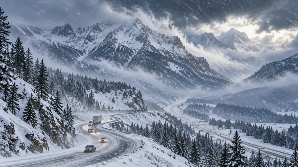
Heavy snow and strong winds create difficult travel conditions across the Rocky Mountain region.Roads can remain icy. Blowing snow may continue. Snowmelt can refreeze overnight, and damaged power lines or fallen trees may remain dangerous.
The National Weather Service warns that partially cleared roads can remain icy or blocked after major winter weather. Melting snow can also contribute to localized flooding.
Travel conditions often improve gradually rather than immediately.
What Residents Should Monitor
Anyone affected by a winter storm Colorado Wyoming Utah weather pattern should follow official forecasts instead of relying on a single forecast made several days earlier.
Pay attention to expected snowfall, elevation, wind speed, temperatures, timing, road conditions, visibility, and official watches or warnings.
Mountain forecasts deserve special attention because conditions at high elevations can be dramatically different from nearby cities.
Forecasts also become more precise as a storm approaches, so checking for updates before departure is essential.
Frequently Asked Questions
Does a winter storm affect Colorado, Wyoming, and Utah equally?
No. Terrain, elevation, temperature, wind direction, and the storm track determine which locations receive the heaviest snow. Conditions can differ greatly between neighboring areas.
Which areas usually receive the most snow?
Higher mountain elevations generally have the greatest potential for significant accumulation. Specific totals depend on each storm’s track and moisture.
Why is Wyoming travel difficult during snowstorms?
Strong winds can produce blowing and drifting snow across open highways, reducing visibility and covering cleared pavement.
Can Salt Lake City receive heavy snow while nearby areas receive less?
Yes. Utah’s elevation and terrain can create substantial differences in snowfall between valleys, benches, and mountain locations.
Is Interstate 70 dangerous during Colorado snowstorms?
Conditions on I-70 can become difficult during significant mountain snow, especially around higher passes. Travelers should check current road conditions before departure.
What should I keep in my car during winter?
Carry warm clothing, blankets, water, food, a flashlight, first-aid supplies, an ice scraper, shovel, charging equipment, and other basic winter emergency supplies.
What should I do during a Winter Storm Warning?
Monitor official updates and reconsider unnecessary travel. The National Weather Service says significant winter weather during a warning can make travel difficult or impossible.
Can one large storm fix a snow drought?
Usually not by itself. A major storm can improve snowpack and soil moisture, but seasonal recovery depends on total snowfall, temperatures, subsequent storms, and spring melt conditions.
Final Thoughts
A winter storm Colorado Wyoming Utah event can affect millions of residents, interstate travelers, mountain communities, ski areas, and regional transportation networks. Colorado faces major mountain-pass and elevation-related challenges, Wyoming often combines snow with strong winds and blowing snow, while Utah can experience sharp differences between the Wasatch Mountains and nearby valleys.
The unusual 2026 snow drought also gives upcoming winter storms greater significance for regional snowpack and water resources. Still, heavy snowfall creates immediate hazards even when additional moisture is badly needed.
Checking National Weather Service alerts, road conditions, mountain forecasts, and local emergency information before traveling remains the safest approach. Conditions in the Rockies can change rapidly, and a clear road at the beginning of a journey does not guarantee clear conditions farther ahead.